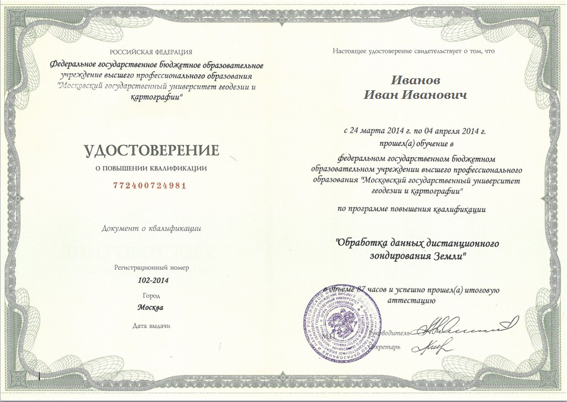
The course addresses issues of in-depth processing and the advanced analysis of remote sensing data.
The Art of Thematic Interpretation: Seminar Program
19 - 23 September 2022
19 September 2022 — The Art of Thematic Interpretation: Seminar Program
10:00 — 18:00
Day 1Theoretical part
10:00 — 18:00
Day 2 Test assignments on the theoretical part. Practical part
10:00 — 18:00
Day 3 Test assignments on the practical part Practical part
10:00 — 18:00
Day 4 Test assignments on the practical part Practical part
10:00 — 14:00
Day 5 Test assignments on the practical part Practical part
14:00 — 18:00
Summing up training results
The Art of Thematic Interpretation: Seminar Program
The course addresses issues of in-depth processing and the advanced analysis of remote sensing data.
10:00 — 18:00
Day 1Theoretical part
10:00 — 18:00
Day 2 Test assignments on the theoretical part. Practical part
10:00 — 18:00
Day 3 Test assignments on the practical part Practical part
10:00 — 18:00
Day 4 Test assignments on the practical part Practical part
10:00 — 14:00
Day 5 Test assignments on the practical part Practical part
14:00 — 18:00
Summing up training results